
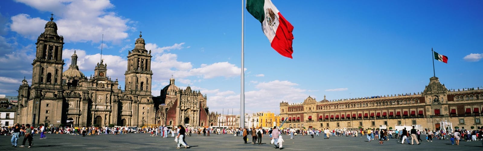
Map of Mexico City
On Mapa Mexico DF 360°, you will find transportation maps of Mexico City (metro, train, tram, Metrobús, Mexibús and trolleybus maps), tourist maps of Mexico City (attractions map, hop-on hop-off bus map), maps of the boroughs and neighborhoods, a map of the airport and maps of the bike routes and Ecobici stations.
All Mexico City maps
On Mapa Mexico DF 360°, you can download as PDFs or print a set of useful, practical maps of Mexico City.
To get around the city, use the maps of the Mexico City transit networks run by the STC (Metro), Ferrocarriles Suburbanos, the STE de la Ciudad de México (light rail and trolleybus), Metrobús and other operators. The network includes 12 metro lines, the Tren Suburbano commuter rail with its branch to Felipe Ángeles International Airport (AIFA), a light rail line, 7 Metrobús lines, 15 trolleybus lines and an extensive bus network.
To explore Mexico City, you will find tourist maps of its monuments and museums, as well as maps of the Turibus hop-on hop-off bus tours that take you to the city's main attractions.
You will also find maps of the city's 16 boroughs (alcaldías) and its neighborhoods, a map of the airport and maps of the bike routes and Ecobici stations.